


La Croix de Berthelot pont du Tarn

Roger Philippe Wallez
User GUIDE
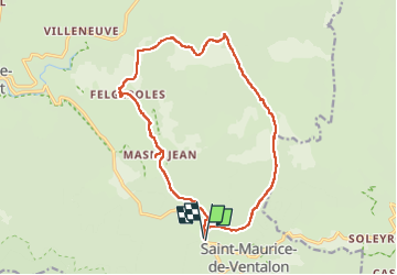

Length
17.3 km

Max alt
1369 m

Uphill gradient
461 m
Km-Effort
23 km

Min alt
1035 m

Downhill gradient
459 m
Boucle
Yes
Creation date :
2022-05-19 07:55:09.0
Updated on :
2022-05-19 13:57:31.613
5h50
Difficulty : Medium

FREE GPS app for hiking
 SityTrail
IGN / Geographical institutes
SityTrail Plus
The world is yours!
About
Trail Walking of 17.3 km to be discovered at Occitania, Lozère, Pont de Montvert - Sud Mont Lozère. This trail is proposed by Roger Philippe Wallez.
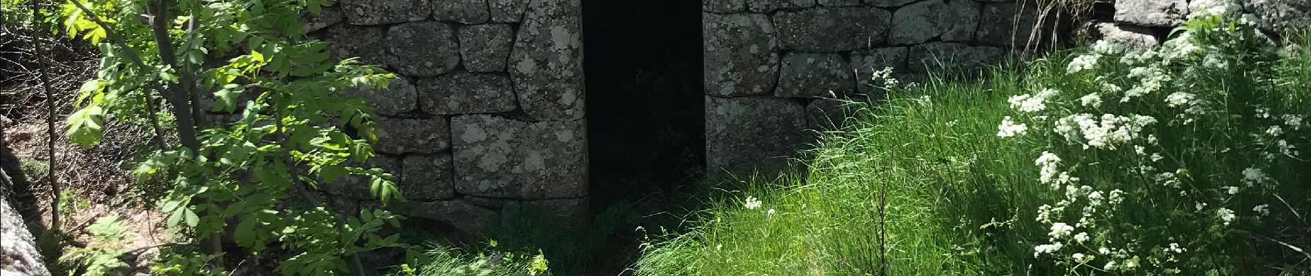
Photos


Positioning
Country:
France
Region :
Occitania
Department/Province :
Lozère
Municipality :
Pont de Montvert - Sud Mont Lozère
Location:
Unknown
Start:(Dec)
Start:(UTM)
565083 ; 4908518 (31T) N.
Comments